Flash Flooding Swamps West Hartford Roads

Audio By Carbonatix
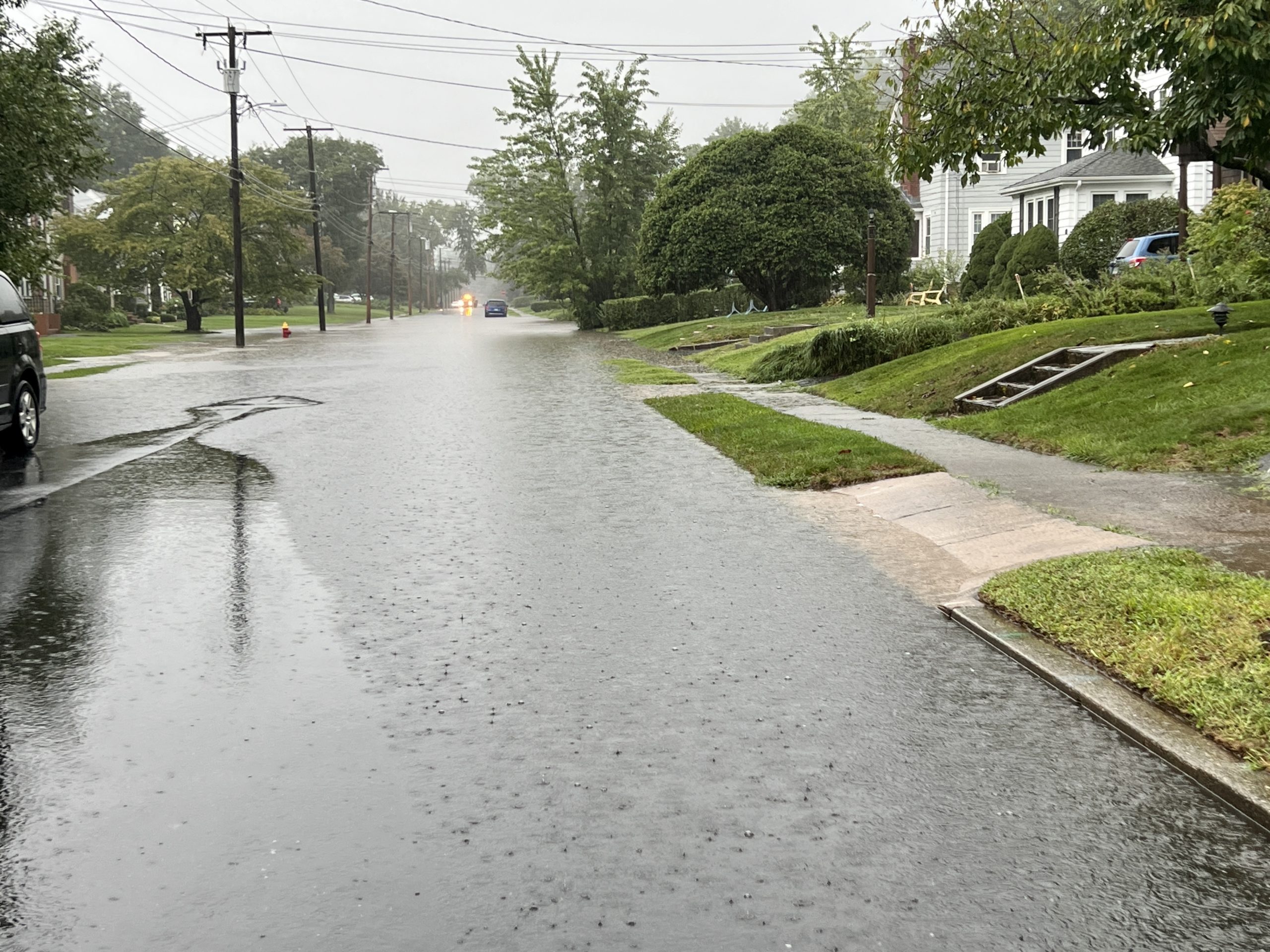
Flooding on Penn Drive, looking south from Fern Street, Sept. 13, 2023. Photo credit: Ronni Newton
Torrential rains on Wednesday morning flooded many West Hartford roads.
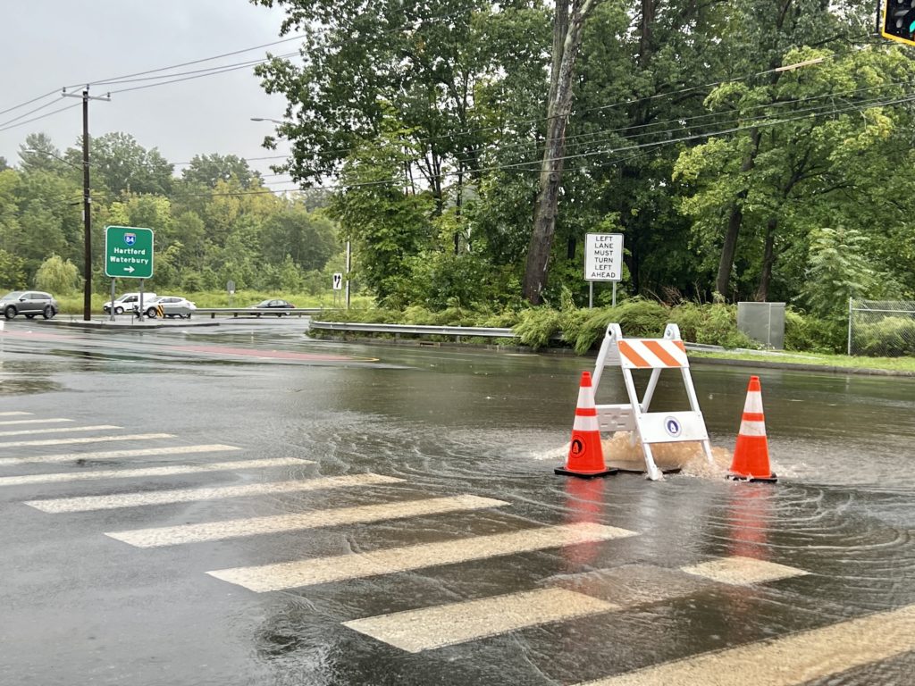
Water bubbles up from a manhole amid a flooded area on Park Road at the intersection with Raymond Road near the I-84 ramp. Photo credit: Ronni Newton
By Ronni Newton
Rain has been drenching West Hartford and the region almost every day of the past week, and Wednesday morning’s “Flash Flood Warning” from the National Weather Service, that lit up phones with an emergency alert just after 9:30 a.m., was meant to be taken seriously.
Heavy rain, with thunder and lightning, had already been impacting the area all morning as part of a strong cold front moving throughout the area.
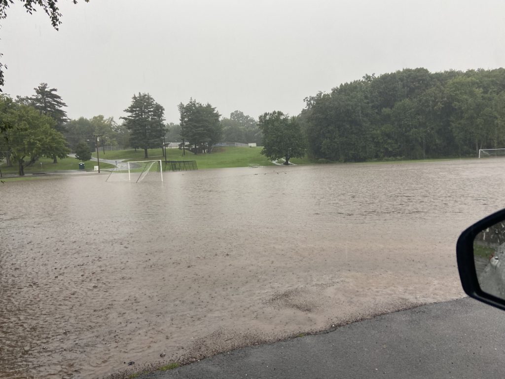
Flooding in Beachland Park, Sept. 13, 2023. Photo credit: John Phillips
Director of Public Works John Phillips said the roadways in town that are prone to flooding were again impacted on Wednesday morning. Those included Penn Drive, Steele Road, Quaker Lane (north and south), King Philip Drive at Albany Avenue, and Trout Brook Drive. Oakwood Avenue at Dexter – an area right near the Public Works facility – was flooded, something that Phillips said “had not happened in years.”
Talcott Road was also flooded, Phillips said. Beachland Park was one big puddle.
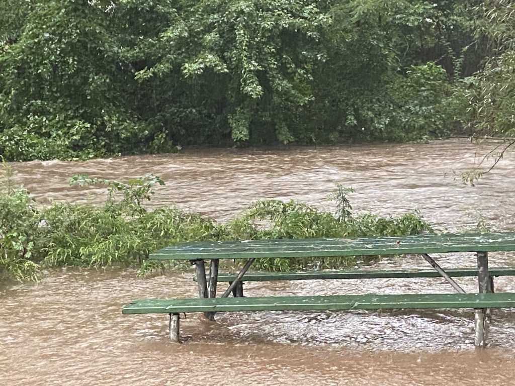
Flooding in Beachland Park, Sept. 13, 2023. Photo credit: John Phillips
“This morning’s storm resulted in a significant amount of rain over a short period of time resulting in street flooding in several low-lying neighborhoods throughout town,” Town Manager Rick Ledwith told We-Ha.com. “Our first responders have been out in full force attending to road closures and vehicles stuck in flooded streets. The forecast calls for the potential for more rain over the next couple of hours so we would ask our residents to use extreme caution if they are driving during these conditions or avoid driving during these storms.”
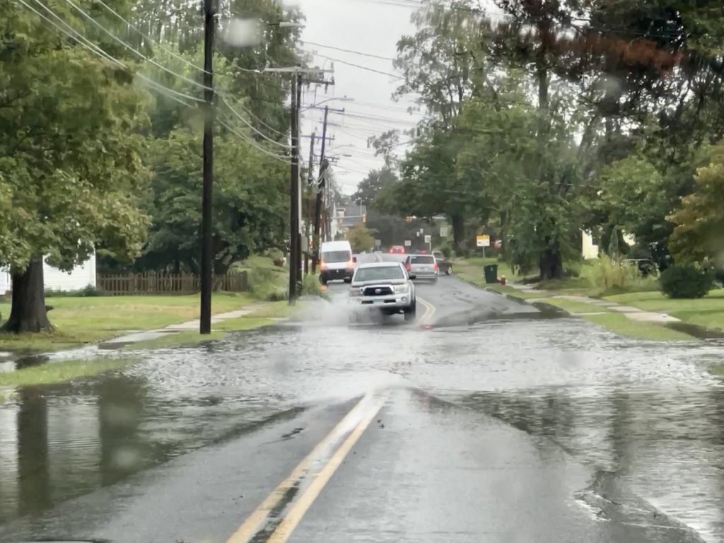
Flooding on South Quaker Lane, Sept. 13, 2023. Photo credit: Ronni Newton
Phillips said the majority of the flooding will resolve as the drainage system catches up with it.
It’s hard to keep track of the number of times that there have been “extraordinary” rain events impacting West Hartford in just the past few months alone, starting with a Fourth of July flash flood, and another just a few days later that flooded many roadways. Sporting events and other activities have been continuously postponed due to rain and thunderstorms over the past several days.
While the water appears to be receding rapidly in many areas, the National Weather Service’s flood warning has been extended until 2:45 p.m. on Wednesday, Sept. 13 due to continued small stream flooding resulting from what was reported as 2 to 4 inches of rain in the area that was under a flash flood warning earlier in the morning.
The National Weather Service is forecasting more thunderstorms on Wednesday afternoon, after 4 p.m. before the weather finally turns more seasonal and less tropical, with highs in the mid-70s and lows in the 50s over the next several days.
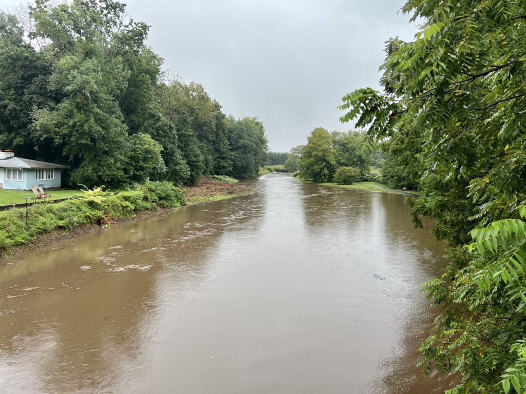
Trout Brook, viewed from the Bridge over Boulevard, looking north, is a raging muddy river. Sept. 13, 2023. Photo credit: Ronni Newton
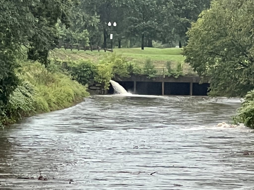
Trout Brook, viewed from the Bridge over Boulevard, looking north, is a raging muddy river. Sept. 13, 2023. Photo credit: Ronni Newton
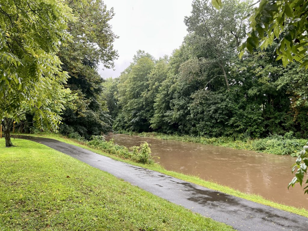
Trout Brook, viewed from Norfeldt Field, is a raging muddy river. Sept. 13, 2023. Photo credit: Ronni Newton
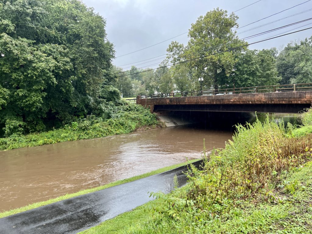
Trout Brook, viewed from Norfeldt Field, is a raging muddy river. Sept. 13, 2023. Photo credit: Ronni Newton

Water bubbles up from a manhole amid a flooded area on Park Road at the intersection with Raymond Road near the I-84 ramp. Photo credit: Ronni Newton
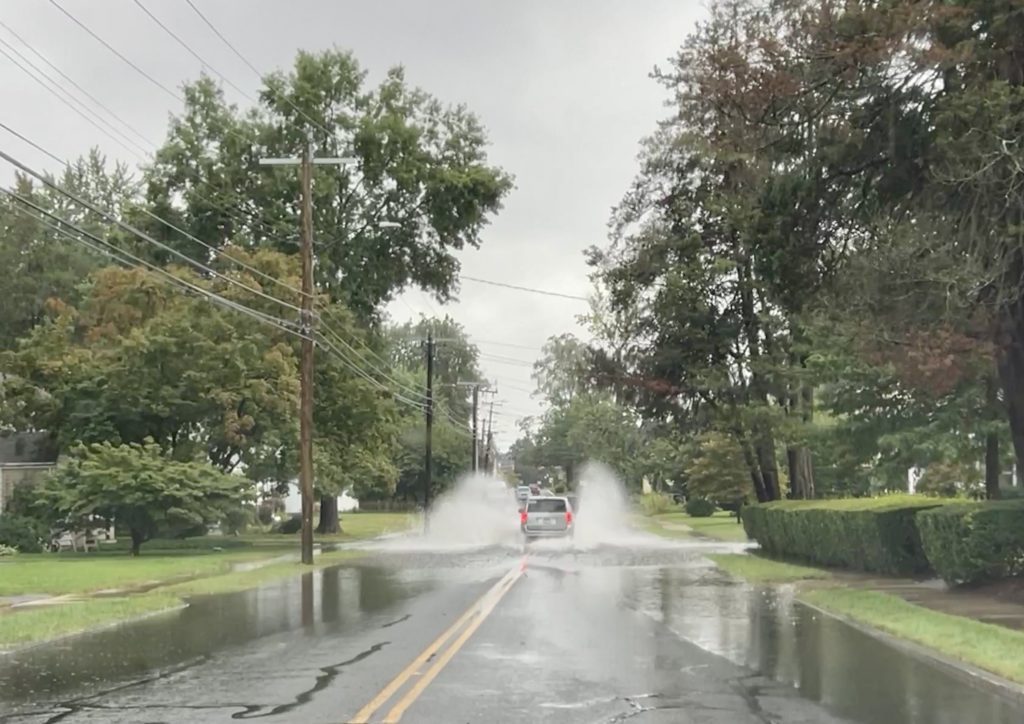
Flooding on South Quaker Lane, Sept. 13, 2023. Photo credit: Ronni Newton
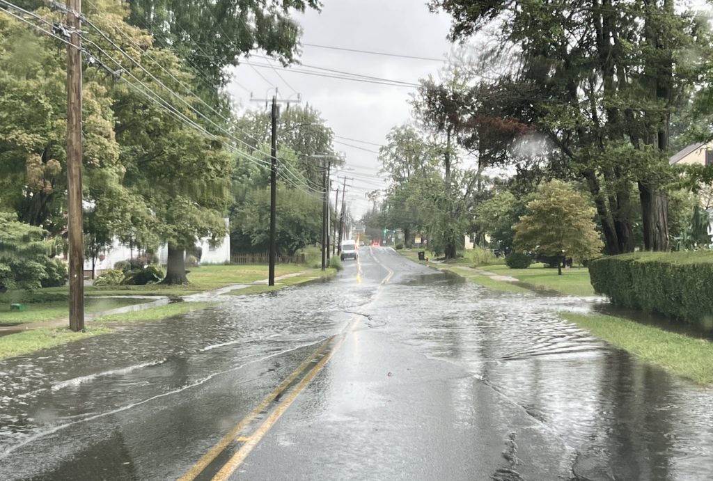
Flooding on South Quaker Lane, Sept. 13, 2023. Photo credit: Ronni Newton
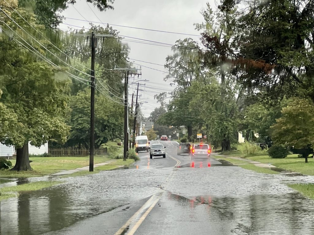
Flooding on South Quaker Lane, Sept. 13, 2023. Photo credit: Ronni Newton
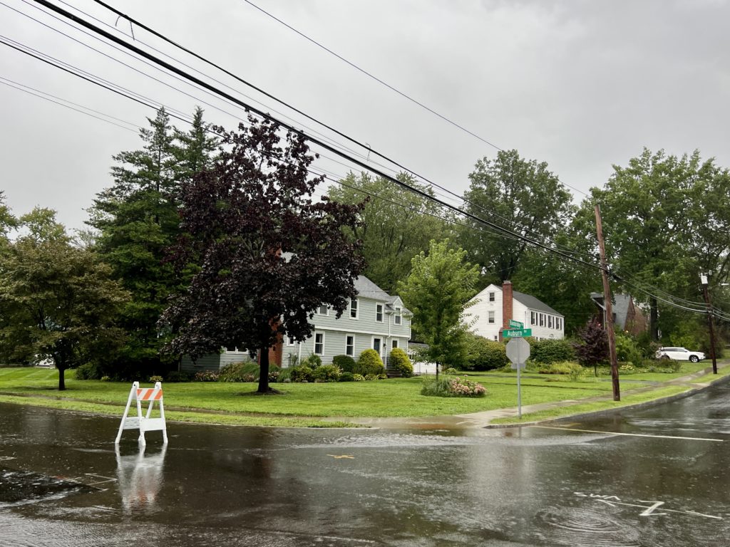
Flooding on Auburn at Bainbridge, Sept. 13, 2023. Photo credit: Ronni Newton
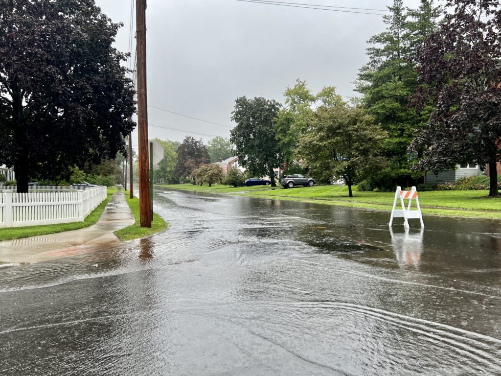
Flooding on Auburn at Bainbridge, Sept. 13, 2023. Photo credit: Ronni Newton
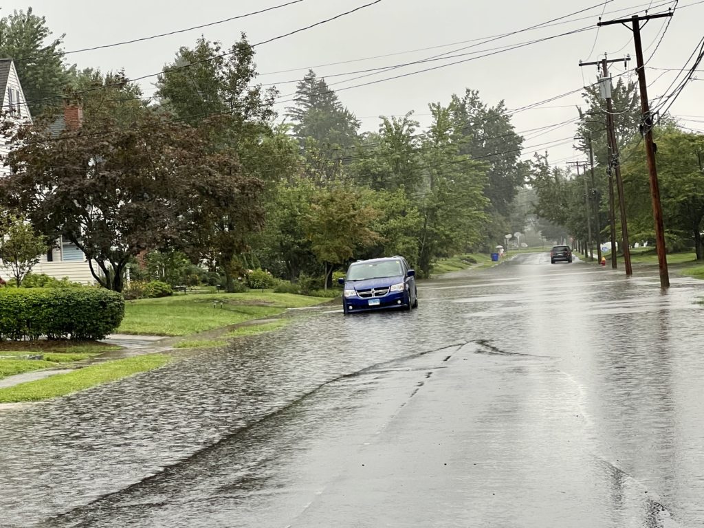
Flooding on Penn Drive, looking south from Bainbridge Road, Sept. 13, 2023. Photo credit: Ronni Newton
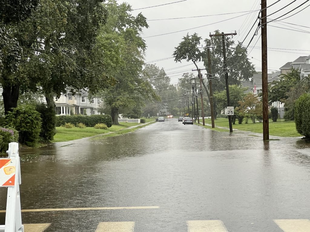
Flooding on Dover Road, looking south from Fern Street, Sept. 13, 2023. Photo credit: Ronni Newton
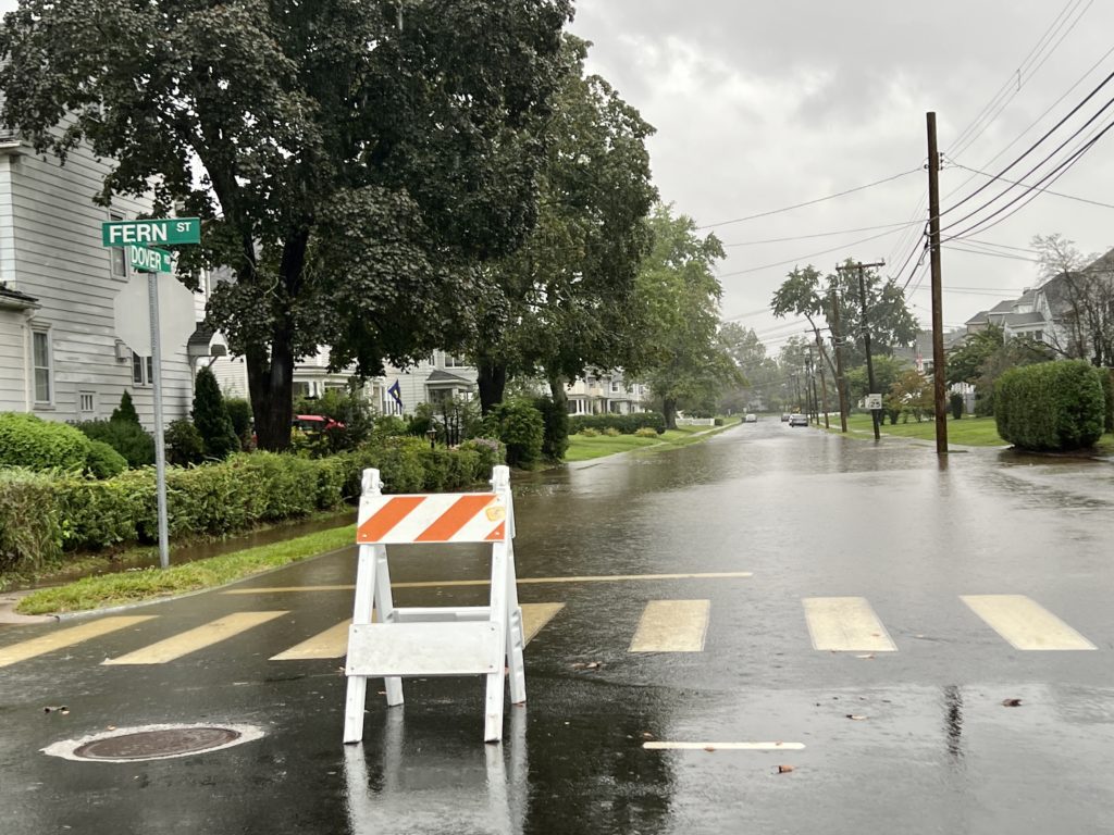
Flooding on Dover Road, looking south from Fern Street, Sept. 13, 2023. Photo credit: Ronni Newton
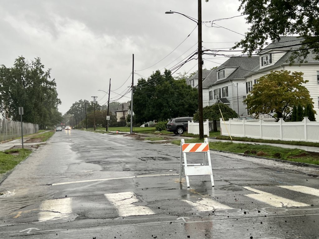
Flooding on Ardmore Road, looking south from Fern Street, Sept. 13, 2023. Photo credit: Ronni Newton
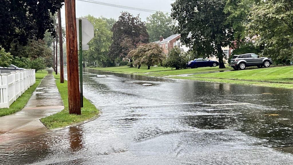
Flooding on Auburn at Bainbridge, Sept. 13, 2023. Photo credit: Ronni Newton
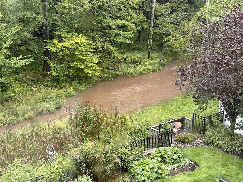
Small stream behind Chestnut Hill Road become a pond. Photo credit: John Lyons
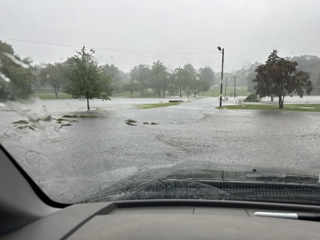
Flooding in Beachland Park, Sept. 13, 2023. Photo courtesy of Todd Petroski
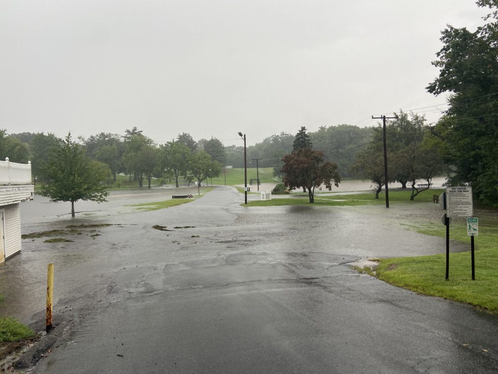
Flooding in Beachland Park, Sept. 13, 2023. Photo credit: John Phillips
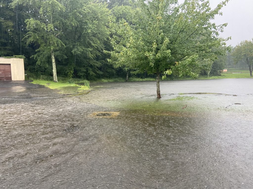
Flooding in Beachland Park, Sept. 13, 2023. Photo credit: John Phillips
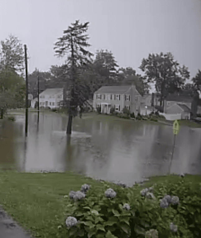
Flooding at corner of Chapman and Westminster. Sept. 13, 2023. Photo courtesy of Kim Vallieres
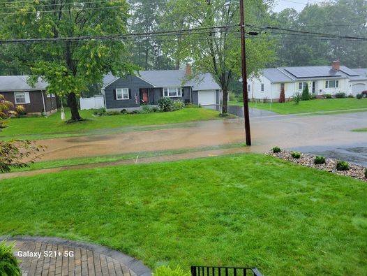
Flooding on Haynes Road. Sept. 13, 2023. Photo courtesy of Christopher Blish
Like what you see here? Click here to subscribe to We-Ha’s newsletter so you’ll always be in the know about what’s happening in West Hartford! Click the blue button below to become a supporter of We-Ha.com and our efforts to continue producing quality journalism.



Great photos Ronni !
Hi Ronni! Here is a video of flooding on Grove Street:
https://quickshare.samsungcloud.com/ljmHwPXelUV8