Snowfall Forecast Kept Changing, Exceeds Prediction in West Hartford

Audio By Carbonatix
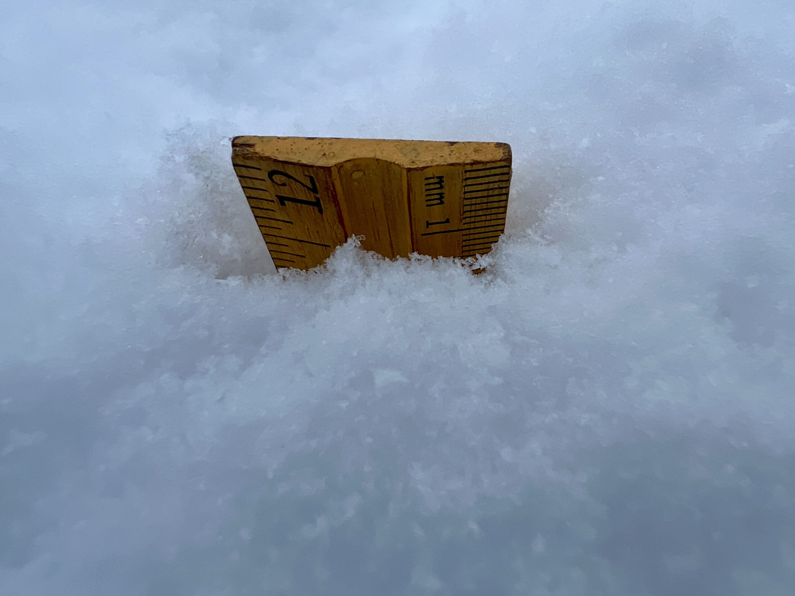
Snow measured 11.5 inches in West Hartford just before 11 a.m. on Feb. 13, 2024. Photo credit: Ronni Newton
Monday night’s forecast made it sound like the storm was going to be a bust, but by 11 a.m. Tuesday nearly a foot of snow had fallen in West Hartford.
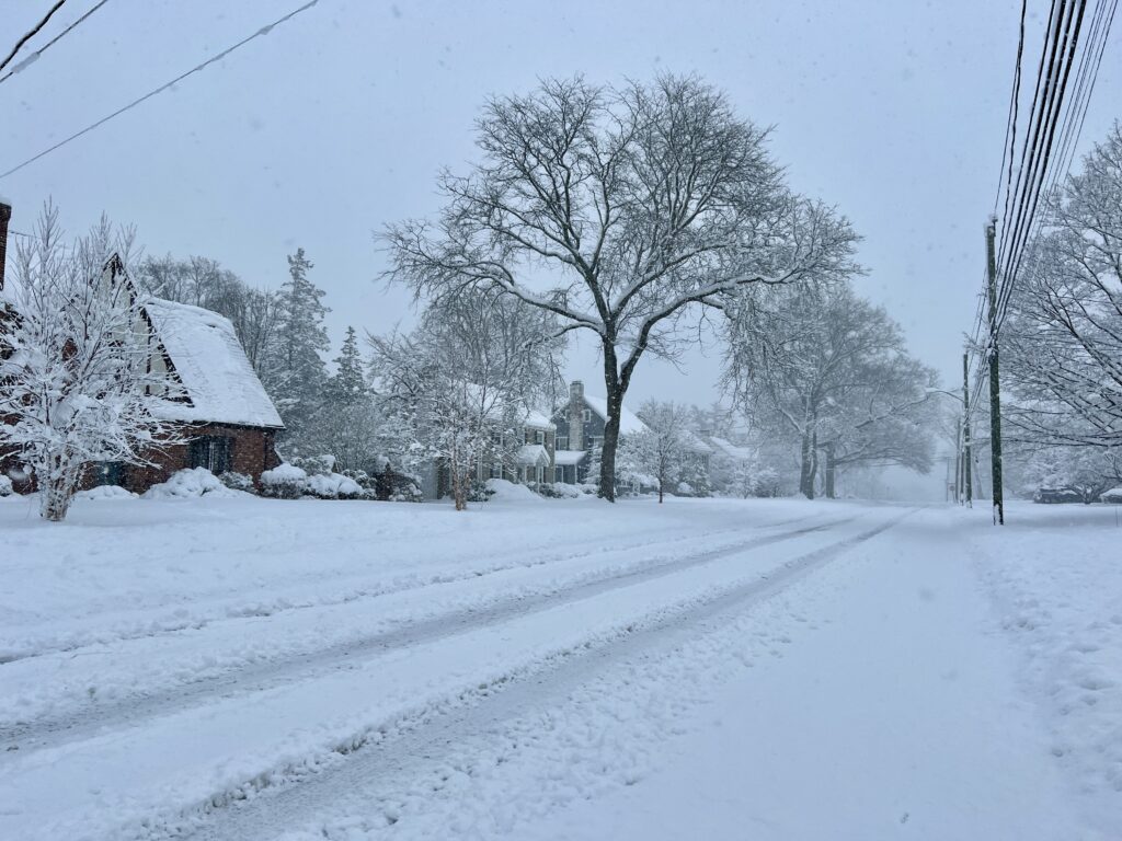
Even plowed roadways became snow-covered again due to the heavy snowfall Tuesday morning. Photo credit: Ronni Newton
By Ronni Newton
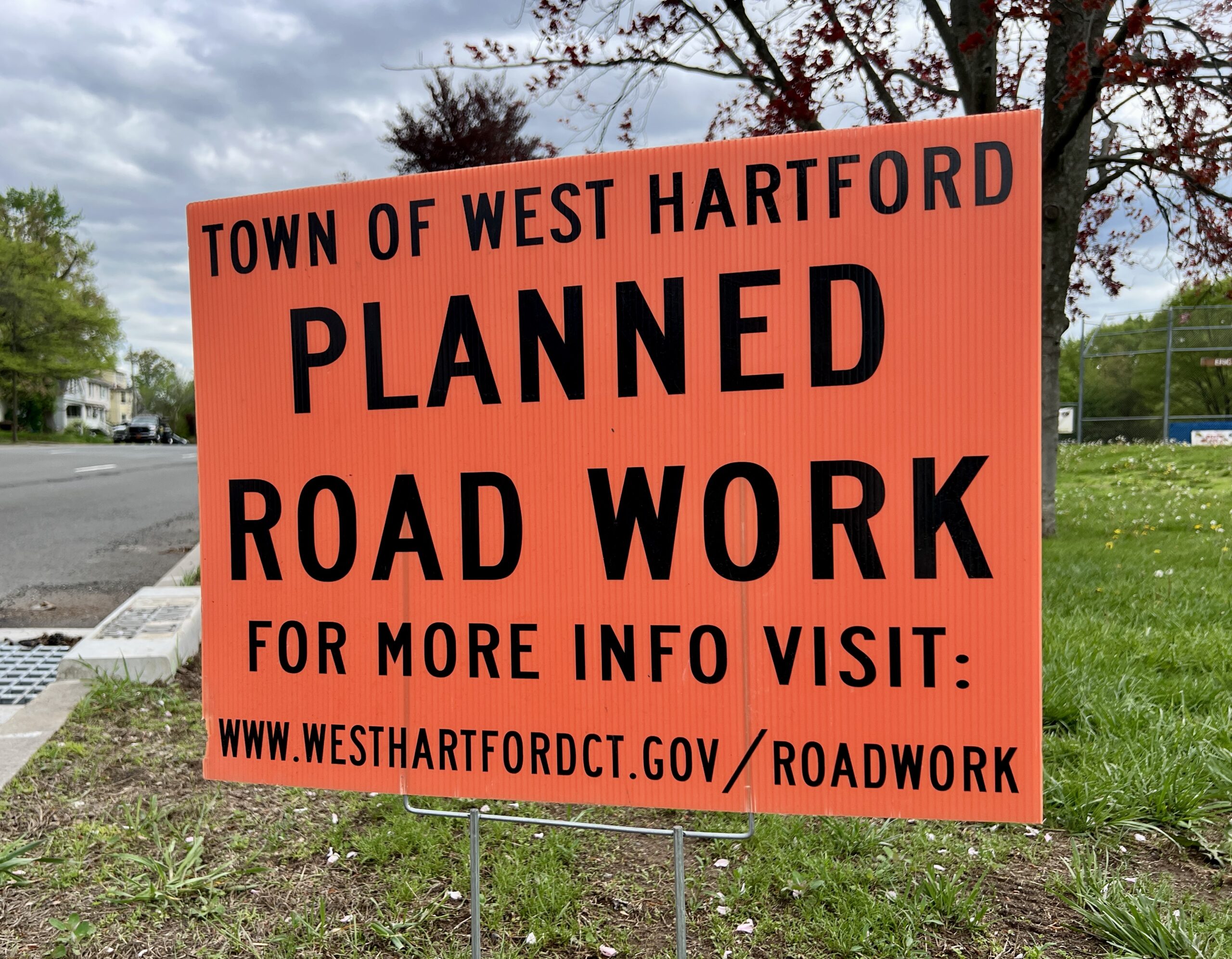
Until late afternoon on Monday, the forecast for Tuesday’s snowstorm indicated that roughly a foot of snow would fall in the West Hartford area and a winter storm had been issued for the area.
A parking ban was issued, schools were closed, trash and recycling pick-up was delayed by a day, and the governor even instituted a limited tractor trailer ban on the state’s highways.
Then, meteorologists began reporting changes in the models, with ever-decreasing estimates of snowfall. By the time most people went to bed Monday night, the storm had been downgraded to a winter weather advisory and some forecasts were estimating a measly 2-5 inches would fall.
Even those who don’t like snow would be hard-pressed to call Tuesday morning anything but a winter wonderland as fluffy snow stuck to the trees and coated the roadways. While the winter weather advisory was never turned back into a winter storm warning, snowfall rates picked up throughout the morning and blew away all forecasts.
“Snow is falling faster than our ability to perform. A plowed travel lane fills in within 30 minutes of a pass,” Director of Public Works John Phillips told We-Ha.com at 10:45 a.m.
“The snow is wet and vey sticky creating slippery driving conditions throughout our transportation system. Travel conditions are unpredictable and rapidly change without notice,” he said.
“All available resources are working,” Phillips said. “It is strongly encouraged to stay off the roads until the snow stops and plow crews do their work safely.”
NBC Connecticut meteorologist Ryan Hanrahan said snowfall rates for several hours exceeded 2 inches per hour, and he shared this post about West Hartford’s snowfall around noon.
Absolutely unbelievable. 15.2” in West Hartford. @NWSBoston @NBCConnecticut pic.twitter.com/5LONVYqz2g
— Ryan Hanrahan (@ryanhanrahan) February 13, 2024
John Lyons, who has developed a following and reputation for his accurate local forecasts that he posts in the West Hartford Neighbor & Friends Facebook group, said, “It was a really fascinating storm. It did indeed track a littler further south than models were showing even 24 hours ago. But, the storm was incredibly efficient at producing snow and the air aloft was slightly cooler and drier which made the snow incredibly fluffy and significantly added to the measurable totals.”
Editor’s note: At 1 p.m., I measured 14 inches of snow at my West Hartford home.
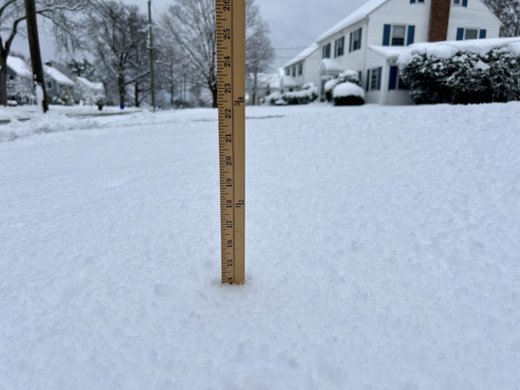
14 inches of snow at 1 p.m. in West Hartford, Feb. 13, 2024. Photo credit: Ronni Newton
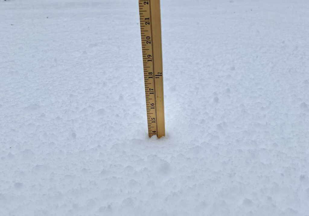
14 inches of snow at 1 p.m. in West Hartford, Feb. 13, 2024. Photo credit: Ronni Newton
Like what you see here? Click here to subscribe to We-Ha’s newsletter so you’ll always be in the know about what’s happening in West Hartford! Click the blue button below to become a supporter of We-Ha.com and our efforts to continue producing quality journalism.


