New Section of Trout Brook Trail Officially Opens

Audio By Carbonatix
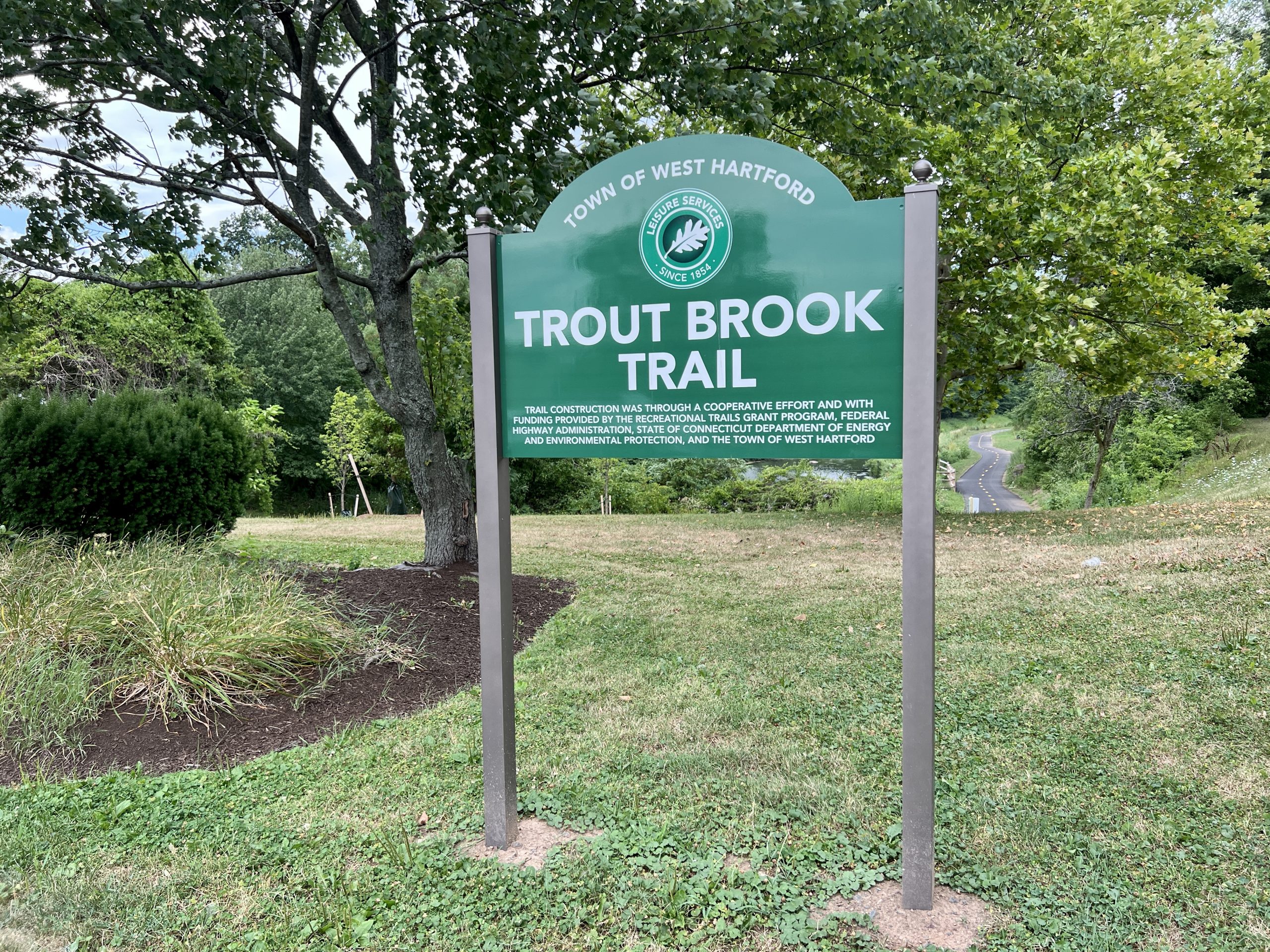
The newest section of West Hartford's Trout Brook Trail, from Farmington Avenue to Fern Street, is now officially open. Photo credit: Ronni Newton
The Town of West Hartford has added just over a half-mile to what will eventually be a 3.5-mile multi-use trail.
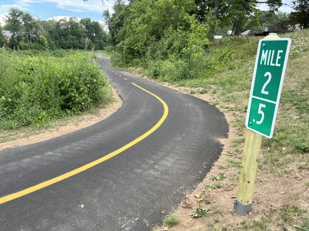
The newest section of Trout Brook Trail, Phase 5, runs between Farmington Avenue and Fern Street. Photo credit: Ronni Newton
By Ronni Newton
A new section of Trout Brook Trail has been completed, extending West Hartford’s multi-use trail from Farmington Avenue north to Fern Street and adding roughly another half-mile to the project.
The newest section meanders along Trout Brook for 2,990 linear feet (0.56 miles), is 10 feet wide, and is restricted to pedestrians, bicyclists, and other non-motorized vehicles. New trees have been planted, and park benches have been added along the path as well.
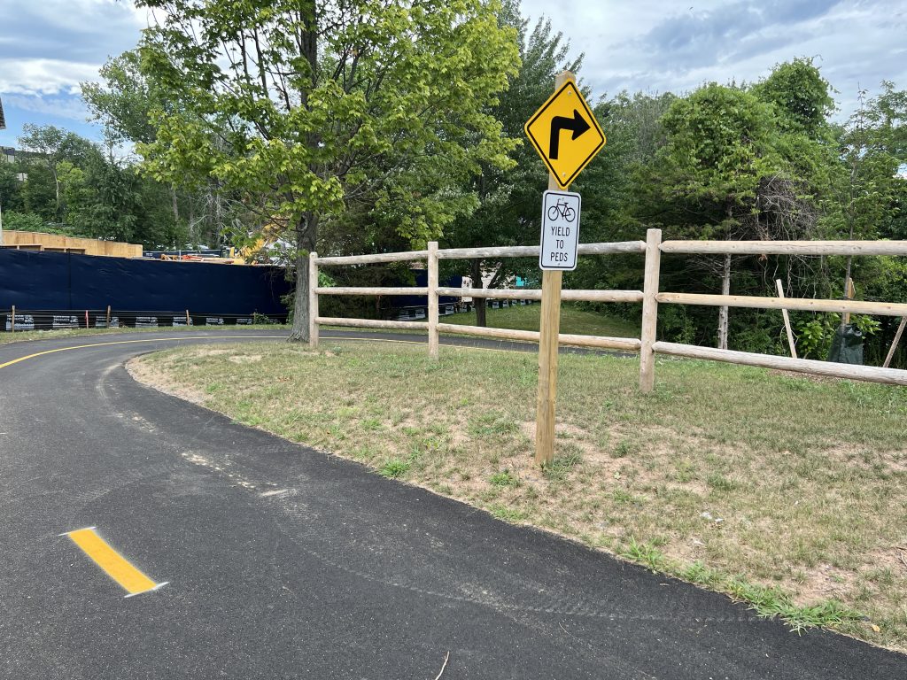
The newest section of Trout Brook Trail, Phase 5, runs between Farmington Avenue and Fern Street. Photo credit: Ronni Newton
“This additional new section of the Trout Brook Trail has been in the works for a long time and it is wonderful to see it open and being used by people of all ages,” Mayor Shari Cantor said Monday. “It connects our community and provides a beautiful and safe path for all to enjoy.”
She added her thanks to the Connecticut Department of Energy and Environmental Protection (DEEP) ”for funding this important project that will be so useful to our residents.”
The trail has been built in phases, and will eventually extend 3.5 miles, from New Park Avenue to Asylum Avenue. The phases are numbered by blocks – each about a half-mile in length – from south to north, but have not been built in numerical order. The first phase to be completed, Phase 4, which runs between Park Road and Farmington Avenue, opened in 2008. Phase 1, from New Park to South Quaker Lane, opened in 2009.
Phase 2, which begins near Beachland Park on South Quaker Lane and ends at Jackson Avenue along Trout Brook Drive, was completed in 2015.
The section just completed is Phase 5, and funding for its construction was provided by DEEP through the federal Recreational Trails Program. The cost of the project, managed by Giordano Construction of Branford, CT, was $648,900.
“We are excited to open the next phase of the trail to our residents,” Director of Leisure and Social Services Helen Rubino-Turco said. “This section of the trail features gorgeous views of the brook and a tranquil recreational experience, away from busy residential roads. It’s perfect for pedestrians and cyclists.”
Rubino-Turco, who has been a strong proponent of the nationwide “10-Minute Walk Campaign,” noted that the trail, which is a linear park, is also part of the town’s commitment “to ensure that everyone has safe access to a quality park or green space within a 10-minute walk.”
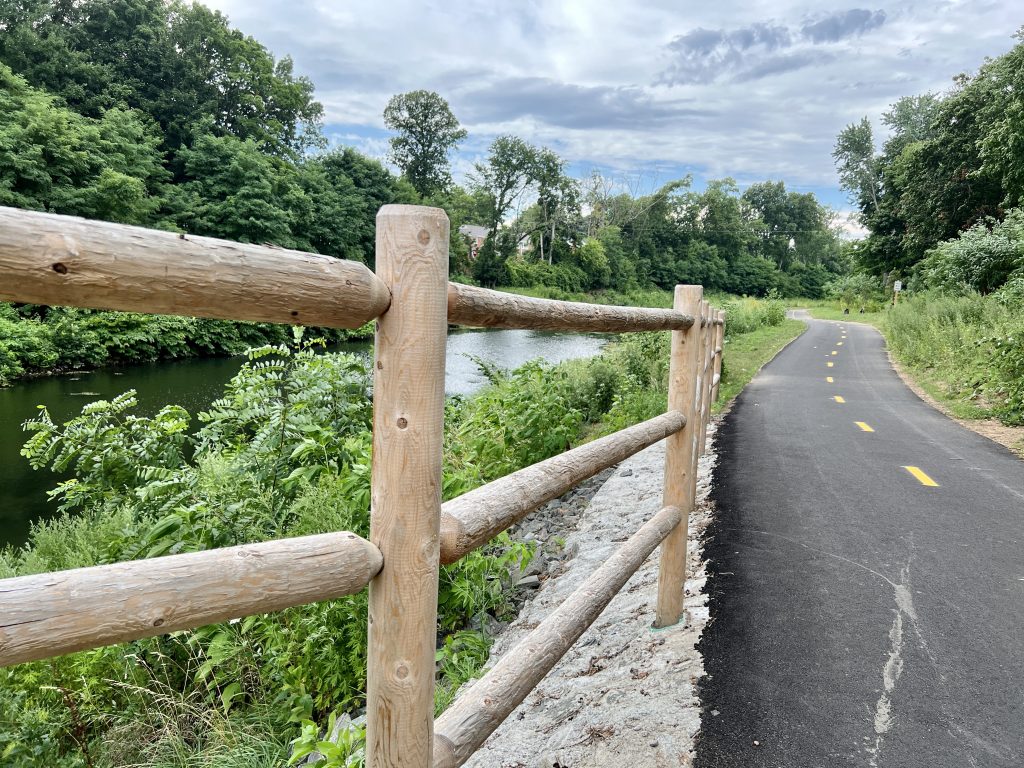
The newest section of Trout Brook Trail, Phase 5, runs between Farmington Avenue and Fern Street. Photo credit: Ronni Newton
The next phase scheduled for completion will be Phase 6 – a 2,900-foot-long section of the multi-use trail between Fern Street and Duffield Drive. A total of $1,080,000 is on the State Bond Commission Agenda for this Friday’s meeting, and is expected to be approved to fund the project, which is shovel-ready and scheduled to be completed later this year.
Phase 7, the northernmost 700 feet of the trail, which will extend the trail from Duffield to Asylum Avenue, is expected to be funded through the town’s capital improvement program and should be completed in 2023.
The most complicated section has been Phase 3, a 3,900-foot section from Jackson Avenue to Park Road, which requires narrowing of Trout Brook Drive. The town has received funding for this section and design work is now underway with completion of the entire project expected by 2023.
“I want to recognize our Engineering Division for their planning and design through all seven stages of this project which began in 2008,” Town Manager Rick Ledwith said. “Our thanks also go to the Department of Public Works for their part in clearing the space of debris in preparation of the contractor’s work. This continues to be a team effort that town can be quite proud of.”
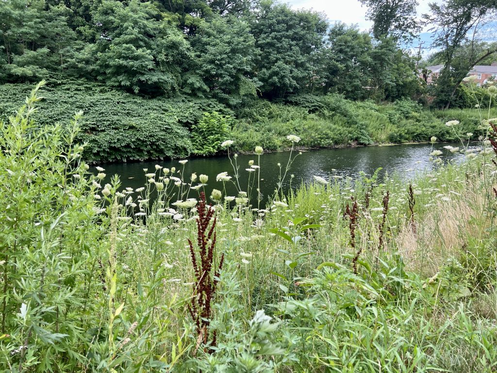
The newest section of Trout Brook Trail, Phase 5, runs between Farmington Avenue and Fern Street. Photo credit: Ronni Newton
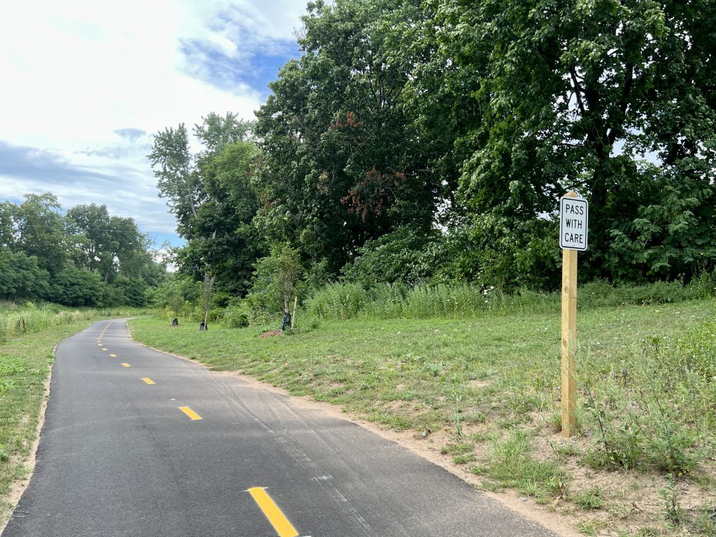
The newest section of Trout Brook Trail, Phase 5, runs between Farmington Avenue and Fern Street. Photo credit: Ronni Newton
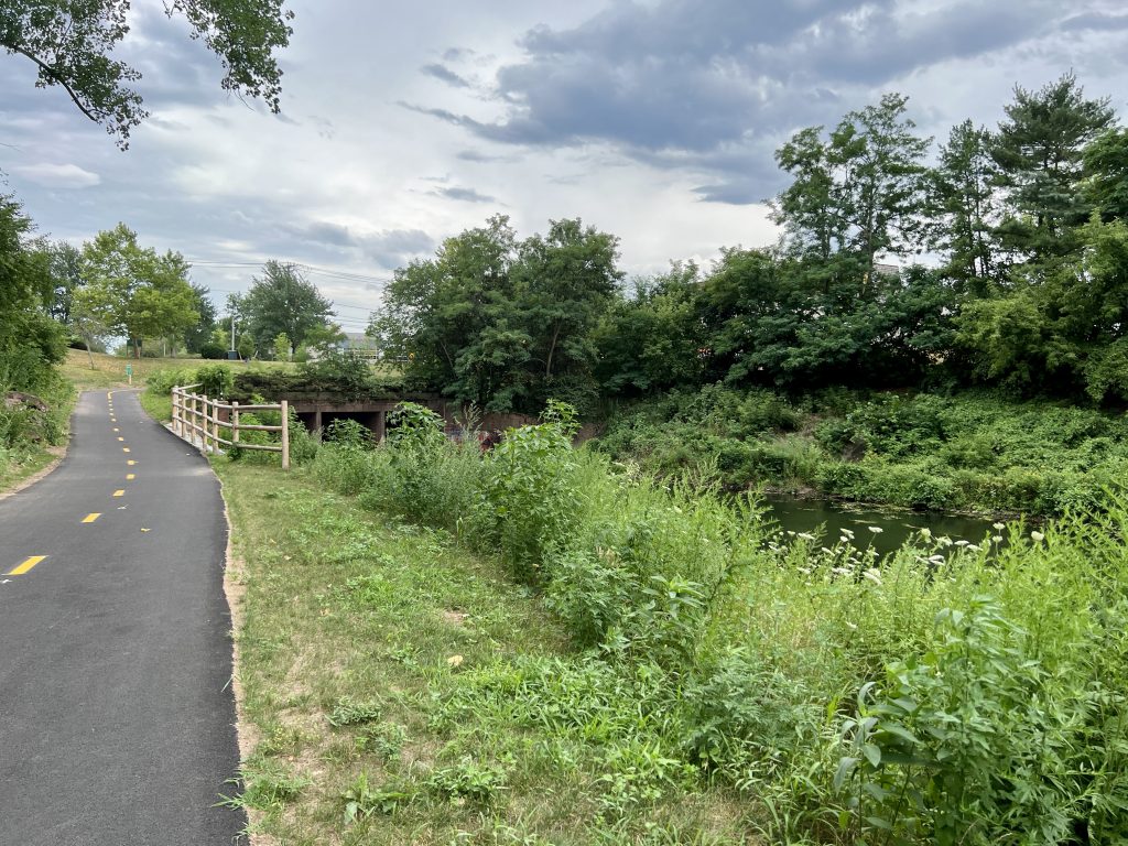
The newest section of Trout Brook Trail, Phase 5, runs between Farmington Avenue and Fern Street. Photo credit: Ronni Newton
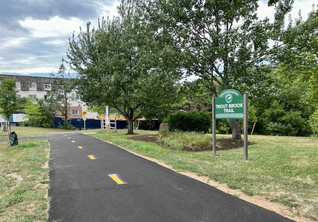
The newest section of Trout Brook Trail, Phase 5, runs between Farmington Avenue and Fern Street. Photo credit: Ronni Newton
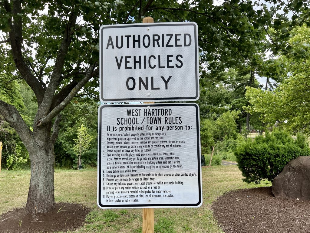
The newest section of Trout Brook Trail, Phase 5, runs between Farmington Avenue and Fern Street. Photo credit: Ronni Newton
Like what you see here? Click here to subscribe to We-Ha’s newsletter so you’ll always be in the know about what’s happening in West Hartford! Click the blue button below to become a supporter of We-Ha.com and our efforts to continue producing quality journalism.


This is a difficult project to follow. It would be helpful to have increased signage & explanation. Is it possible to travel the entire length without Street interruption and if yes, when will this be possible? I also think more signage should include historic landmarks like the facts regards e.g. Beachland dairy & farm & when it was operative, & other locations like this, if there any.