
West Hartford Designates Three Neighborhood Bike Routes

Audio By Carbonatix

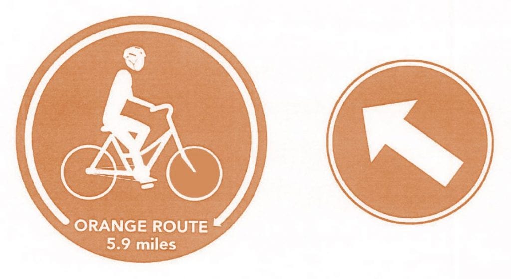
Signs for the 5.9-mile orange bike loop were just installed. Photo credit: Ronni Newton
The Town of West Hartford has added signage to identify two of three established bike routes, and the project should be complete by this fall.
Courtesy town of West Hartford
By Ronni Newton
The Town of West Hartford is in the process of designating family-friendly bike routes throughout town and all three routes should be identified with signage by this fall.
Signs for the orange route, a loop which takes riders through Fernridge and Westmoor parks and Bugbee and Braeburn elementary schools, were installed just last week, Civil Engineer Greg Sommer said Thursday.
There are two types of signs, Sommer said. The larger signs, which include an image of a bicycle and indicate “bike route,” are repeated about every half mile. Signs with arrows are included every time the route changes direction.
Creation and designation of the routes was a cooperative effort between the town’s Pedestrian and Bicycle Commission, the Engineering Division, and Public Works’ Sign Shop.
The 5.9-mile orange loop is partly on residential streets, but also uses paved pathways like the trail through Bugbee Woods. The intent for all the loops was to map out a fun, family-friendly ride, to accommodate cyclists of all levels and avoids main roads. When main roads need to be crossed, it’s done at a safe intersection, Sommer said.
The green route, a 4.2-mile loop through the north part of town, was installed this spring. It winds through Eisenhower Park, the area near Wampanoag Country Club, and King Philip School.
The longest of the routes – the 8-mile blue loop – will take riders through the south part of town and include Blue Back Square, Wood Pond, Wolcott Park, and Beachland Park. It will also utilize the existing Trout Brook Trail and designated bike lanes on Boulevard. Signs for the blue loop will be installed by the fall, Sommer said.
“You can start anywhere on the route,” said Pedestrian and Bicycle Commission Chair Scott Franklin, who developed the routes along with other Commission members.
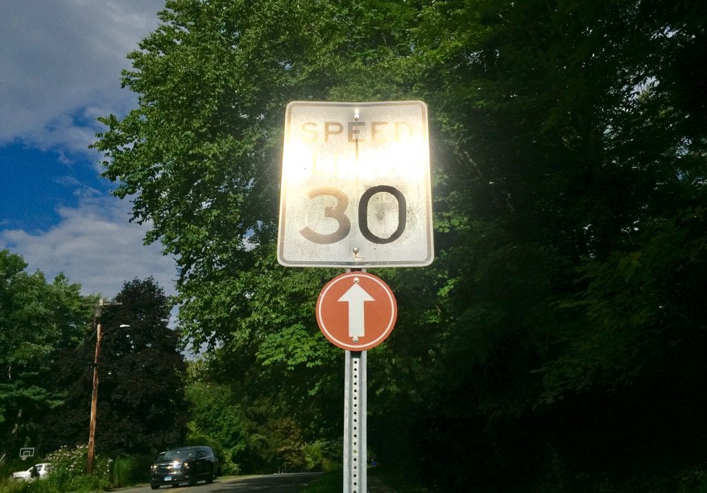
Each time a route changes direction there is an arrow, and then a validating arrow also appears to ensure riders that they have turned in the correct direction. Photo credit: Ronni Newton
“We went to the town maybe a year ago and said we would want to have routes for families,” Franklin said. He is very pleased with how the project turned out. He said that the orange route was originally intended to have Westmoor Park as the designated start area, but because of concerns about adequate parking, that was turned into a loop like the others.
“The town did a great job, putting signs at the turns, and a validating sign once you turn,” said Franklin. The loops were constructed to be ridden in a clockwise direction, with mostly right turns for safety reasons.
The cost of the project – creation and installation of the signs – was about $9,000, Sommer said. Most of the funds came from the Public Works budget.
“I think we’ll see a lot of people doing them because they’re safe,” Franklin said.
Photos of the routes can be found below, as well as online at www.bikewesthartford.org.
Like what you see here? Click here to subscribe to We-Ha’s newsletter so you’ll always be in the know about what’s happening in West Hartford!
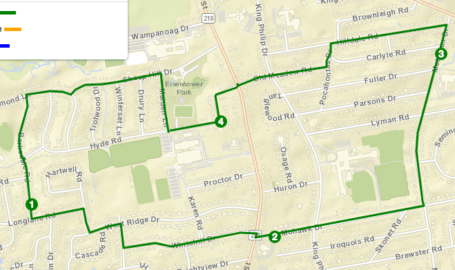
Green loop. Courtesy of Town of West Hartford
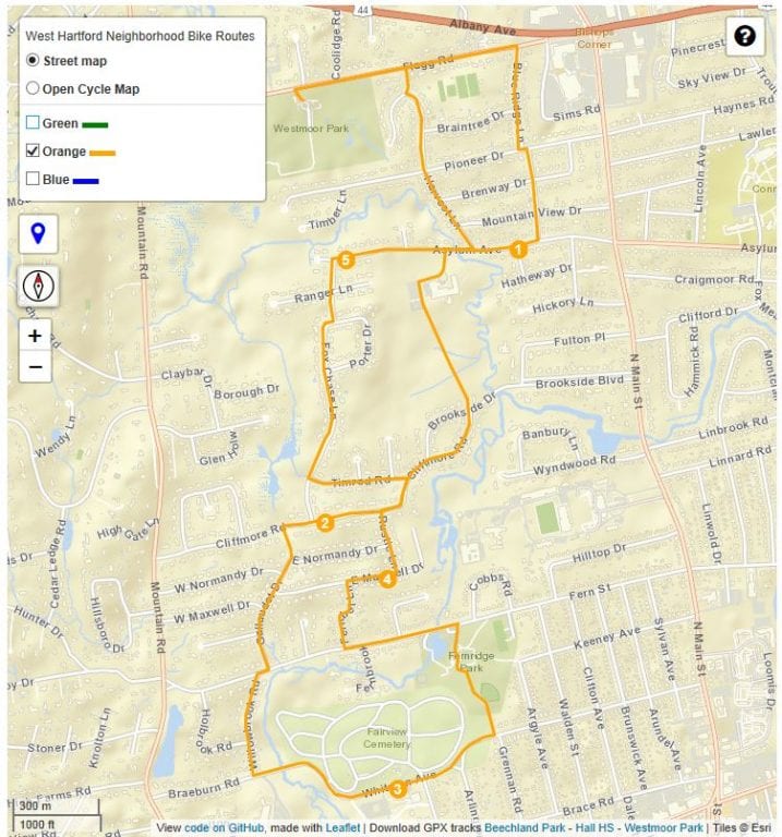
Orange lopp. Courtesy Town of West Hartford
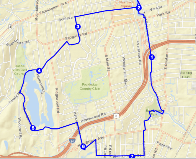
Future blue loop. Courtesy of Town of West Hartford