West Hartford’s ‘Thursday Throwback’

Audio By Carbonatix
Courtesy Town Manager Ron Van Winkle
Test your knowledge of West Hartford history with this ‘Thursday Throwback,’ courtesy of West Hartford Town Manager Ron Van Winkle and the Noah Webster House and West Hartford Historical Society.
By Ronni Newton
It’s Throwback Thursday (#tbt), and time to take a look back into West Hartford’s past to either stir up some memories, reflect on how much things have changed, or both. And if you have no idea, we love the photo captions, too!
Just like last week, this week there is an extra name in the credit for this week’s historical photo. Town Manager Ron Van Winkle came across a stash of historical photos in his office, and graciously offered to share them with us as well as the Noah Webster House & West Hartford Historical Society.
Courtesy Town Manager Ron Van Winkle
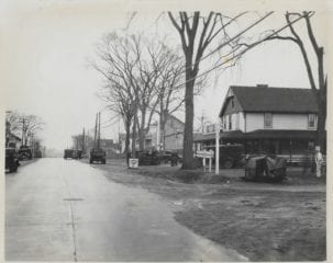
Last week’s photo (at right and in larger size below) was a really interesting one with lots of detail to analyze.
Liz Gillette ventured the first guess: “Here’s my guess – the road sign says N Main. I can’t read the other side well but judging by the number of letters, I think it might say Albany Ave. I can’t make out the name on the building at the front of the photo but the sign at the road says Chicken Dinner $3. The direction sign on the bottom appears to say Hartford and the best I can get from the top is ‘Westerly Terr’??? So, my best guess is the south west corner in Bishops Corner where there is no a parking lot in front of the bank below Koman (the new restaurant)I’ll guess an early spring (lots of mud)in the teens or twenties. Lots of trucks parked and is that the ghost of Mark Twain on the right! Thanks Ron and Ronni!”
Dianne Rechel waited a few days before adding her thoughts: “For me this is another interesting doozy! No, Main St is still a dirt road and intersects with some important paved road. Must be a state road and the only one I can think of is Albany Ave. With a sign for Westerly (trolley?#1?) and Hartford(trolley@2?) in the same direction. Maybe they gave free transfers! I wonder how far west the trolley went before converting to stagecoach. So is that chicken dinner where Troy’s Mobil is now? Wow-this town has certainly changed.”
Somehow that was it for comments, unless they have somehow disappeared from Facebook.
As for the answer, having the original photo was very helpful because someone was kind enough to write the description on the back: “Looking east, North Main Street and Albany Avenue.” Both Liz and Dianne correctly identified the intersection, and Dianne is correct that the chicken dinner (which was only $1) was being served at the site of what is now the Mobil station but was at the time (mid 1920s) Welch’s Inn – a place that has a very storied past that can be the subject of a future column. There was actually a gas station there, too, just past the Inn headed east toward Hartford. The sign for “Socony Service Station” is barely visible, and there are some vehicles at the pumps.
The directional signs say “Westerly Route 17” and “Hartford Route 17.” I had to look those up, because I always thought Albany Avenue was Route 44. According to Wikipedia (I know, but it was the only source I could find and this makes sense): “West of Hartford, modern US 44 was designated as part of New England Route 17, which stretched in Connecticut from North Canaan to Stonington (via modern Route 2). Between the New York state line at Salisbury and North Canaan, the road was known as Route 121.
Courtesy Town Manager Ron Van Winkle
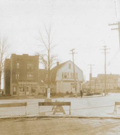
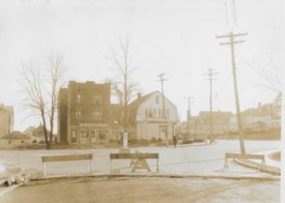
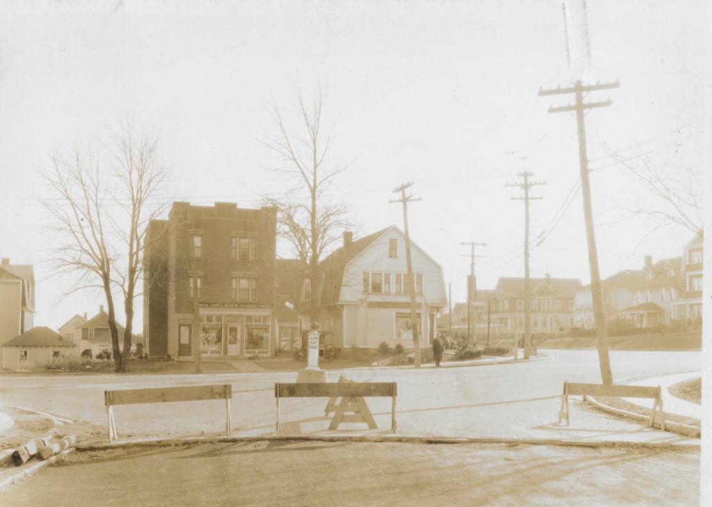
Here’s another image (at right and in larger size below) from the archives of Town Manager Ron Van Winkle. Readers should be able to identify it!
Where do you think this photo was taken?
When was the photo taken?
What are the businesses that are visible?
What businesses are on this street today?
Please share your memories below.
Thank you to Town Manger Ron Van Winkle, and the Noah Webster House & West Hartford Historical Society for providing us with the images. They are always looking for new images to add to the collection. Visit their website at www.noahwebsterhouse.org for more information about membership and programs.
Like what you see here? Click here to subscribe to We-Ha’s newsletter so you’ll always be in the know about what’s happening in West Hartford!
Courtesy Town Manager Ron Van Winkle
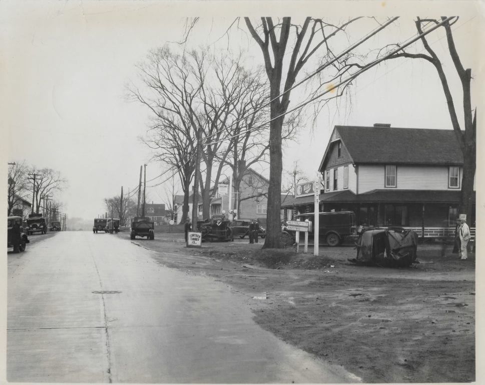
Albany Avenue at intersection with North Main Street, looking east. Courtesy Town Manager Ron Van Winkle


Looks like Hall’s Market on the left and next to it, where Park Lane Pizza is today, corner of Park and S. Quaker. 1940-something.
Bob – it’s definitely the Hall’s building and present day Park Lane Pizza, but when I enlarged and sharpened the pic, the sign says”ABE’S…(something). Hall’s was founded in 1935, so I am going to guess this is mid-1920’s. And there are street car wires visible too. Good one Ronni and Ron!
It is Hall’s to Go and Park Lane Pizza. There are 3 buildings now Hall’s, Hall’s to Go and Park Lane. Looks like they are cleaning up the Intersection with Quaker Lane
Halls and Park Lane Pizza at corner of South Quaker and Park Road!
Old Abelson’s Market and Quaker Pharmacy on the corner, now Park Lane Pizza. I believe Hall’s was built later to the left or expanded the Abelson’s original store.
I got it as “Abelsons Market”. Park Lane looks to have already been converted from a house to a business. I think there is a chunk of the trolley track somewhere in town hall from when Park Rd. was re-done, maybe in Ron’s office! I’ll guess the thirties for the time (based on pretty much nothing!!!)