West Hartford Hurricane Update

Audio By Carbonatix

Projected path of Henri as of Saturday, Aug. 21, 8 p.m. Image from N.O.A.A. National Hurricane Center.
As of 8 p.m. Saturday, the National Hurricane Center indicates a shift in the track of Hurricane Henri, which earlier in the day looked to be heading straight through West Hartford.
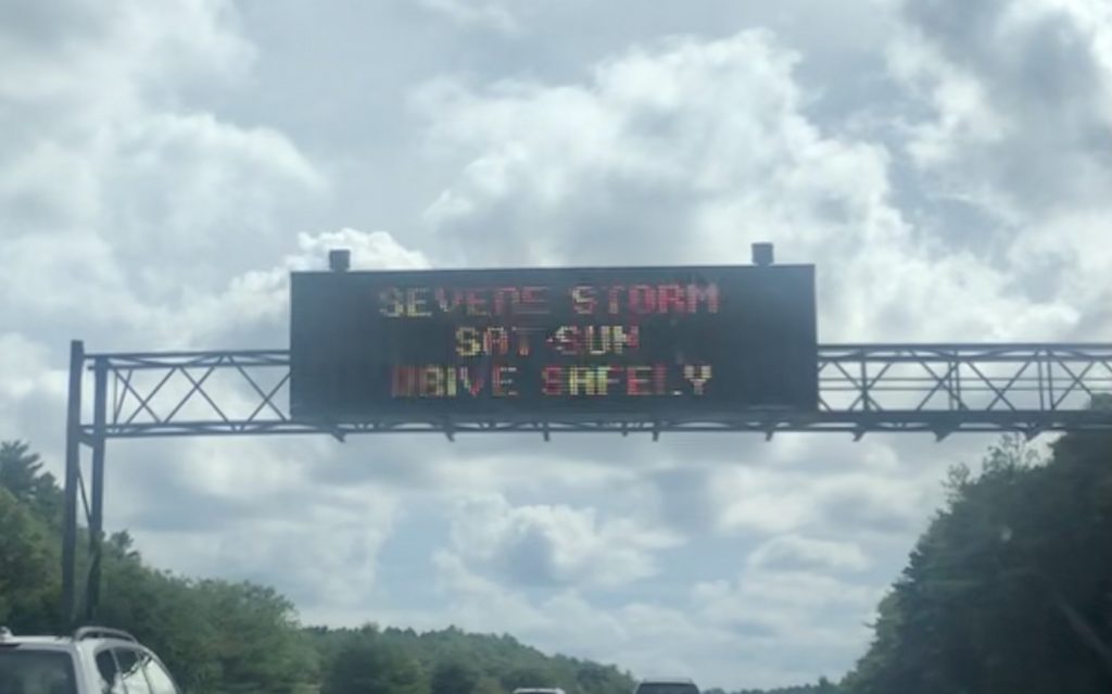
Signs along the highways of Rhode Island, Massachusetts, and Connecticut on Aug. 21 indicate weather warnings. Photo credit: Ronni Newton
By John Lyons
You will see based on the above map, issued by the National Hurricane Center as of 8 p.m. on Saturday, Aug. 21, that the forecast track has moved just a few miles east. This forecast gives us two fairly significant changes.
- It keeps us on the west side of the storm which will hopefully reduce the amount of wind damage and also the amount of blackouts.
- It shows the righthand turn happening comfortably to our north, which would also be good news for West Hartford and surrounding communities.
I want to address both of those but a key messaging point I want to get across is don’t necessarily trust the storm. It’s clearly giving the computer modeling systems mixed signals so things can, and will, change.
Again, don’t trust the storm.
To my first point, when talking about a hurricane, it’s easiest to talk about it in terms of a clock or compass. The section between 12 and 3 o’clock (northeast of the center) is the worst section to be in. The section between 6 o’clock and 9 o’clock (southwest) is more favorable. Overall, the western side of the storm is less severe than the eastern side.
If the most current forecast track holds, the bulk of our exposure to it will be in that favorable southwestern position relative to the center.
We are still at very high risk for tremendous rain – and we need to be fully prepared for that.
The second point about the storm slowing, and making that eastern pivot we’ve been talking about further north, is also potentially favorable for us.
The area south of the eye or center of the storm is typically much less severe than all other points relative to the center. If the turn does happen in New Hampshire, it will shorten the duration for West Hartford significantly. And we will be in the southernmost quadrant of the storm. We could even see breaks of sun if the turn happens far enough north.
There is also some good news. While traveling on the Mass Pike and I-84 today, I personally saw hundreds of utility trucks heading in our direction. Clearly the power companies are taking the storm very seriously. Other residents who were driving their children to college reported seeing utility trucks in Michigan and Pennsylvania, headed in the direction of Connecticut.
Latest take on timing:
Overnight Saturday clouds will continue to thicken and lower and rain will start a few hours before dawn.
From about mid morning Sunday on we will be in the worst of it with winds and heavy rain. Hopefully if this forecast holds, Sunday night things will start to quiet down and by Monday morning we actually see some breaks in the clouds. Certainly I hope that we see only some light showers and strong breezes.
Things to worry about: another shift to the west, and/or that pivot happens further south. That would increase the severity of the storm during the brunt of it, and increase the duration.
Cross fingers!
Like what you see here? Click here to subscribe to We-Ha’s newsletter so you’ll always be in the know about what’s happening in West Hartford! Click the blue button below to become a supporter of We-Ha.com and our efforts to continue producing quality journalism.