2020 Brings Another Rare October Snowstorm to West Hartford

Audio By Carbonatix
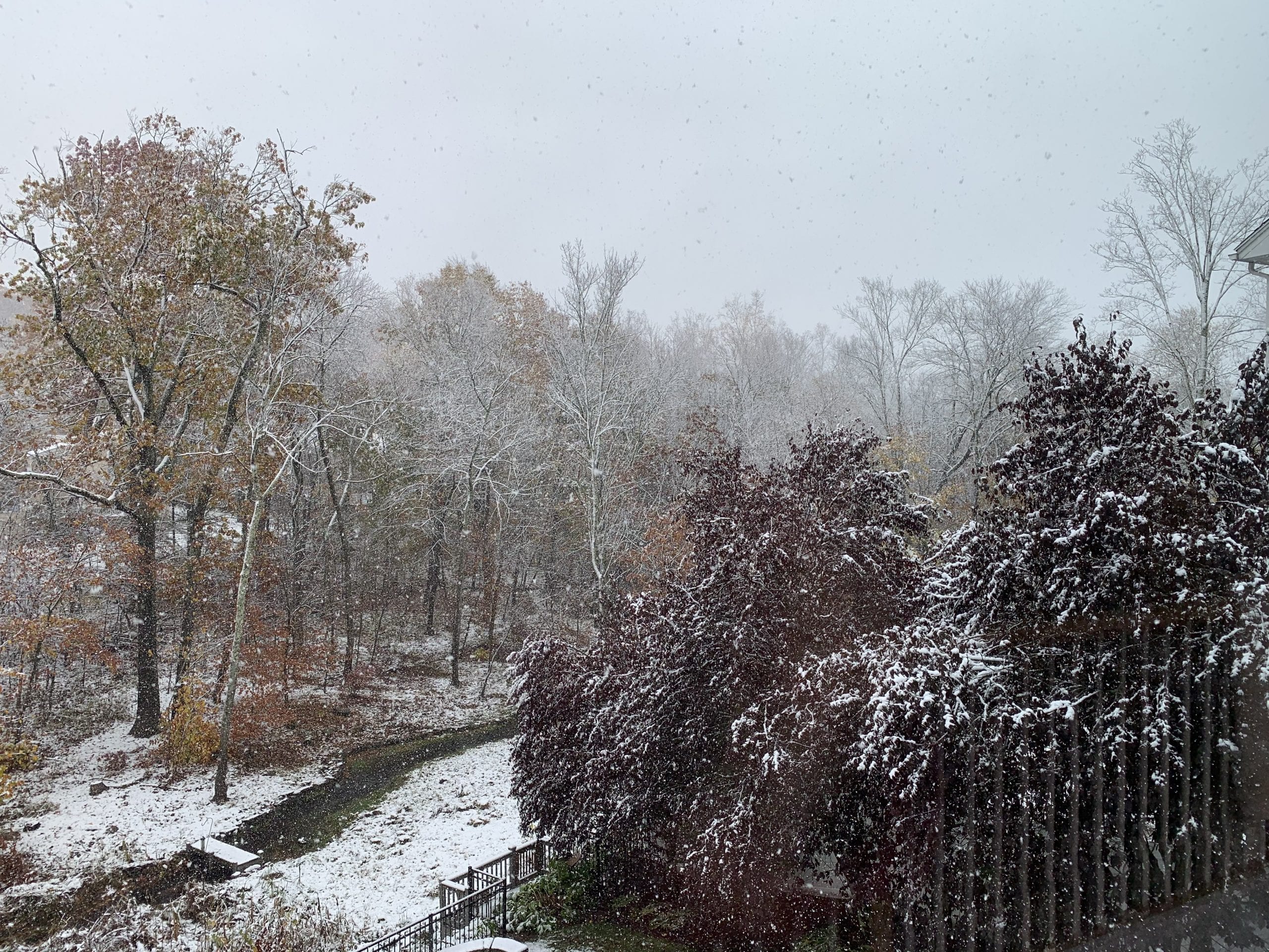
Oct. 30, 2020 snowfall. Photo credit: John Lyons
The predicted snowfall that weather forecasters were discussing all week materialized Friday morning.
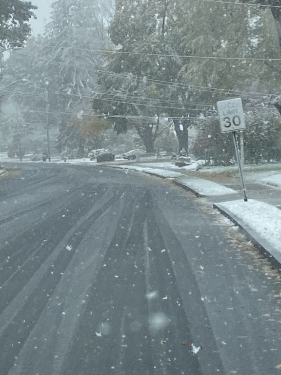
Ridgewood Road in the snow. Oct. 30, 2020. Photo courtesy of John Phillips
By John Lyons
A rare October snowfall arrived early Friday morning, putting down between 2.5 and 3.5 inches of snow – making for idyllic scenes but causing a bit of grief across West Hartford.
This unusual October snowfall is only the fifth such snowfall to occur in October since 1905, but the third such event to happen in the last 10 years.
“We’re fine, the road surfaces are melting off,” Department of Public Works Director John Phillips said around noon Friday, after taking a drive through all four corners of town.
The snowfall rates ranged from light to moderate throughout the morning and were expected to taper off during the early afternoon. The snow was caused by the remnants of Hurricane Zeta which passed to the south of our area overnight Thursday into Friday. The backside of the storm tends to pull down air from the north caused by a counterclockwise rotation of these types of systems in the northern hemisphere. The result is cold air aloft flooding down from Canada and the remaining bands of precipitation falling as snow.
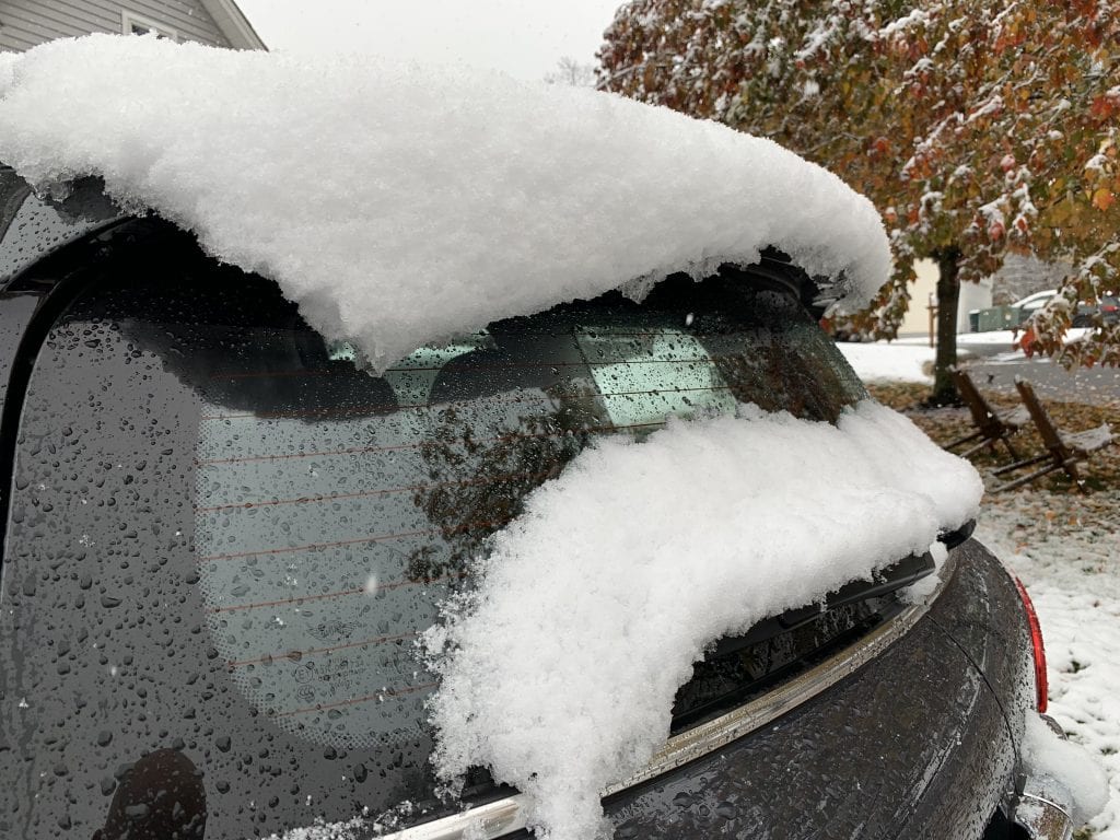
Oct. 30, 2020 snowfall. Photo credit: John Lyons
Longtime residents surely remember the great October snowstorm of 2011, where over a foot of heavy wet snow fell over a 15-hour period, beginning in the middle of the day on Oct. 29, causing catastrophic tree damage and plunging the area into a blackout that for many lasted nearly two weeks.
That snow was compared to concrete due to its weight by cleanup crews who spent days working to get the town’s roads accessible.
Phillips said some pine trees and trees that still have most of their leaves were sagging a bit Friday under the weight of the snow, but he doesn’t anticipate a major problem unless the wind really picks up.
While there was no widespread damage reported Friday, some areas did experience power loss due to trees coming into contact with power lines. The weight of the snow caused branches to touch the lines in a few areas and a few branches to snap – in some cases leading to a short that tripped safety equipment to avoid transformer issues, but still resulting in loss of power for some Eversource customers.
As of 3 p.m., Nine West Hartford customers were without power.
Any power outages should be short-lived as the state is better prepared for this type of event than in past years and the snowfall rate was manageable.
Anyone who loses power should report it to Eversource and can do so online at https://www.eversource.com/CustomerCare/ReportOutage or by calling 800-276-2000.
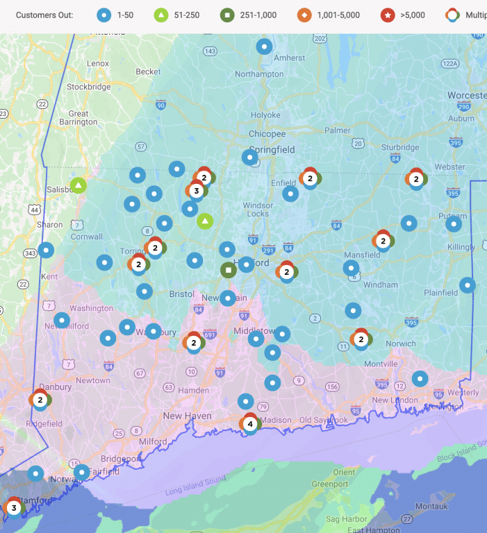
Eversource outage map. Courtesy of John Lyons
“The weather forecast was spot on. They did a really good job setting the tone for this storm,” Phillips said.
Temperatures are supposed to plunge into the mid-20s Friday night, and Phillips said there is some concern about black ice overnight and early Saturday morning.
“We will keep a crew on standby tonight because of the potential for black ice,” Phillips said. With sunshine and temperatures expected to rise into the mid- to upper-40s Saturday, any ice should melt quickly.
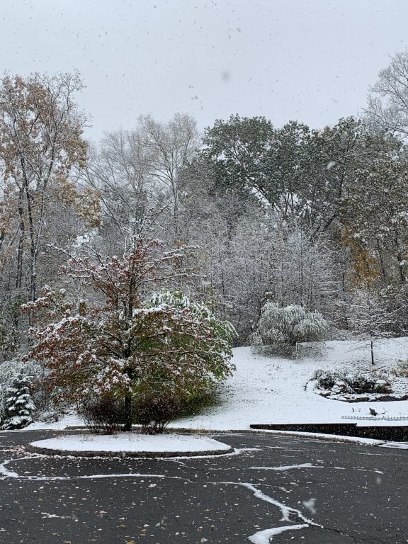
Oct. 30, 2020 snowfall. Photo credit: John Lyons
Like what you see here? Click here to subscribe to We-Ha’s newsletter so you’ll always be in the know about what’s happening in West Hartford! Click the blue button below to become a supporter of We-Ha.com and our efforts to continue producing quality journalism.


